Forestry News
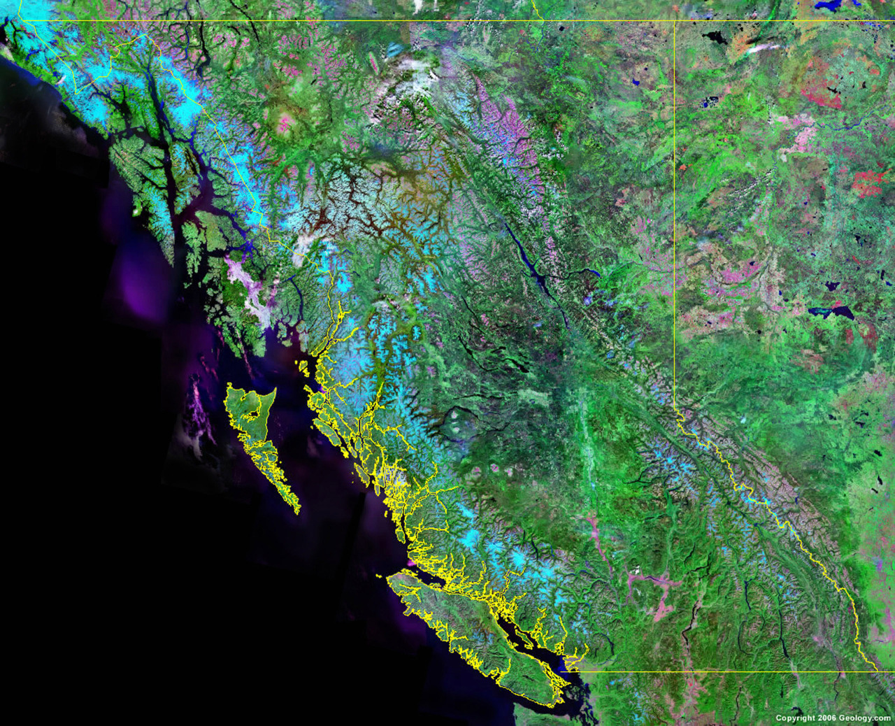
British Columbia from satellite
March 5, 2013
British Columbia from satellite, via Geology.com. Yellow is the BC border including coastline.
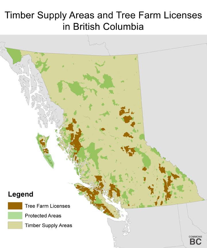
Forest land use in British Columbia
March 4, 2013
You don’t need to know the technical terms TSA (Timber Supply Area) and TFL (Tree Farm License). All you need to know is that privatization would involve turning all the yellowish areas brown. Or from grey to pink, in the second map.